Projects
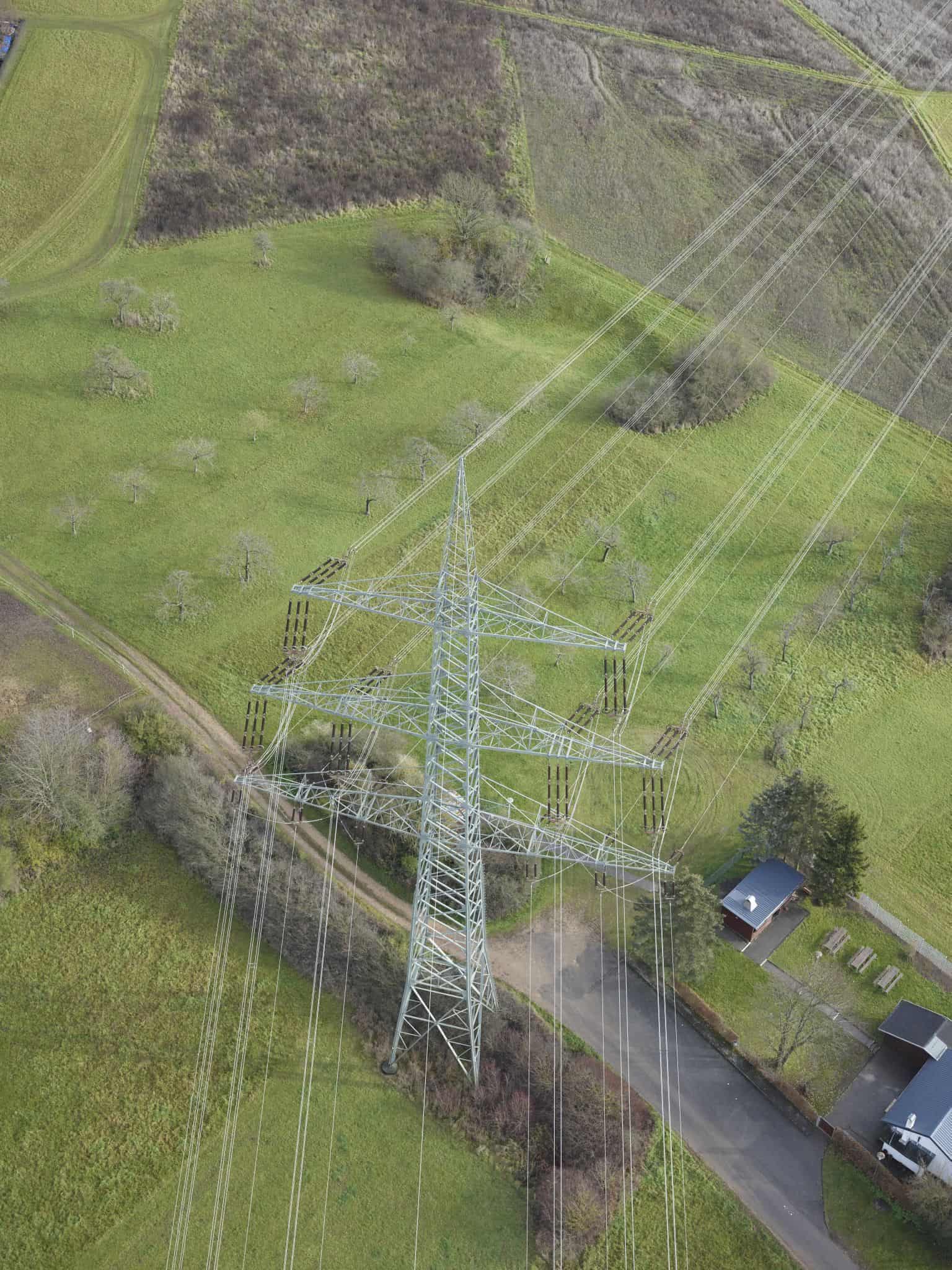
We have seen during our work with over 40 global utilities that one key challenge of transitioning to virtual overhead line inspections is the quality and consistency of image capture. There are many factors that impact this process – from camera quality, to angle of image capture to flight patterns when utilizing flight or drones. In real-life conditions, these factors often lead to subpar image capture, and issues such as improper exposure, blur and framing are commonplace. Sometimes operators are even forced to re-fly the lines to get useful data for virtual inspections, leading to inefficiencies and high costs.
AISPECO is partnering with eSmart Systems in a project to develop edge computing algorithms for the improvement and automation of the image capture process for overhead line inspections. This will help utilities capture images of their assets in a more efficient and reliable manner, with the goal of reducing costs associated with image capture by ensuring the right images are captured the first time. High-quality, consistent images also contribute to a significantly more efficient AI-assisted inspection process.
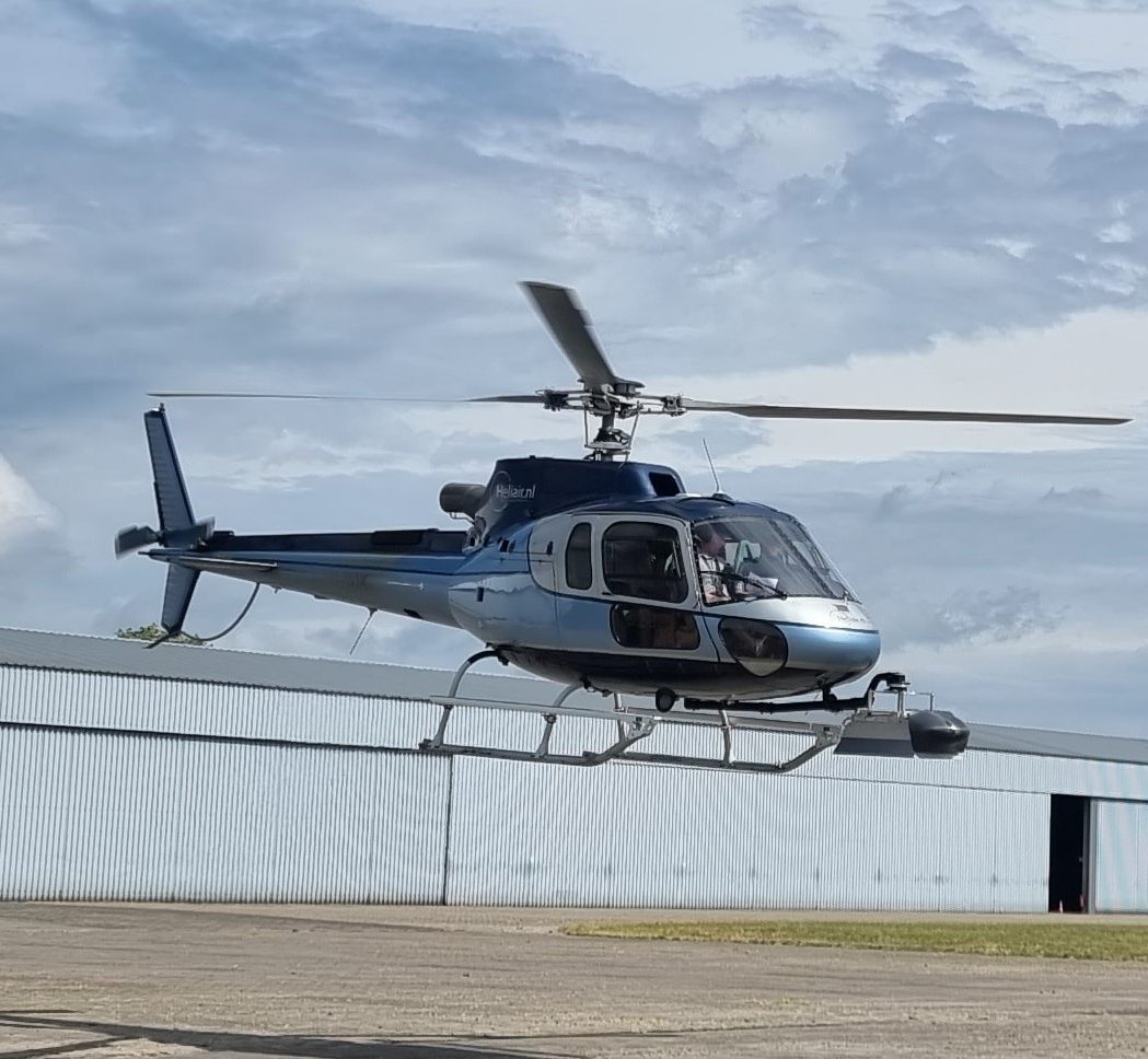
The objective of Smart Falcon is to develop a solution that is able to identify in real-time when a target structure or part of the structure is in-frame, and automatically trigger a camera shot. The solution will also evaluate in real-time the quality of the image to determine if it meets the standards required, and otherwise another image is taken automatically without the need to circle back.
The purpose of Smart Falcon system is to improve the overall efficiency and quality of aerial power line inspection, by implementing the following requirements to above-market-standard values:
1. Increased flight speed when capturing data
2. Increased GSD for RGB inspection images
3. Increased crosswind tolerance
4. Collect all relevant data in a single pass (or as little passes as physically possible)
5. Reduced number of loops when power line changes direction
6. Automatic camera targeting at points of interest
7. Real-time identification of missing (uncaptured-by-error) or improper quality data to be re-captured ASAP
This system consists of two essential components that can be commercialized separately and together:

A powerful but highly miniaturized sensor system with robotic camera controls
AI software that performs sensor data analysis and predicts appropriate parameters

This project is co-financed by the Norwegian Financial Mechanisms and the Republic of Lithuania, under the Business Development, Innovation and SMEs program
Geospatial data-collection
platforms
Company Code: 305584971
VAT TAX ID: LT100013233417
Copyright © 2023 Aispeco. All Rights Reserved.